You need to try this hybrid map layer in RAMM Map
A great feature of RAMM Map is the ability to change the underlying map layer you can see. This will let you to switch between a standard map view and a satellite view.
If you are not sure how to do this, I have covered it in step-by-step detail in this previous blog post.
Today's post is about a new base map layer option in RAMM Map, which brings you the best of both worlds from the standard and satellite map layers.
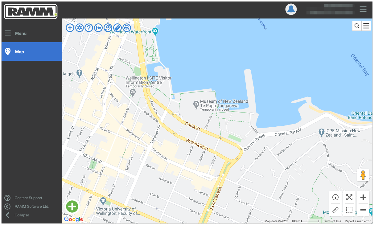
When you first open RAMM Map, by default you will see a standard Google map layer. Using Wellington City as our backdrop, the map below shows part of the central road network with labelled road names.
Being this info is pulling direct from Google, another nice advantage is that other places of interest are also labelled on the map. For example, you can readily identify Te Papa Tongarewa in the screenshot above.
These labels are great for orientating yourself and finding key locations around your network.
With the layer changing functionality in RAMM Map, you can also switch over to see a satellite image layer. This is kind of just like looking at photo of the network.
This satellite layer also has benefits when using RAMM Map. If the image quality is good enough, it’s possible to see specific features and assets at closer zoom level.
The key downside is that it does not show you the names of roads and places. You just get the satellite image.
So wouldn't it be great to have the best of both these layers? A layer where you could see the satellite image and have nicely labelled road and place names, both at the same time!
This is now possible with a recent update in RAMM Map.
Simply click on the layer menu button in the top right of the map. This is the small button with the stack of three horizontal lines. A new option now shows in this layer list .... Satellite with labels.
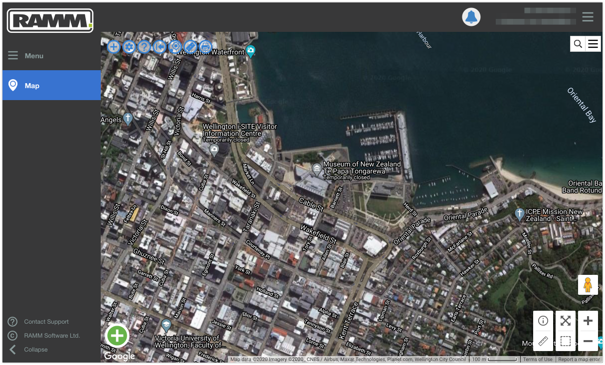
Selecting this option will display a hybrid basemap. It will give you road and place names over the top of the satellite image.
Now you can see the actual image of Te Papa Tongrewa, and have it labelled at the same time.
This is a very welcome addition to the RAMM Map application, and will provide a great source of additional context when managing or viewing RAMM asset data and dispatches.
Check it out. It might just be your new go-to layer in RAMM Map.


